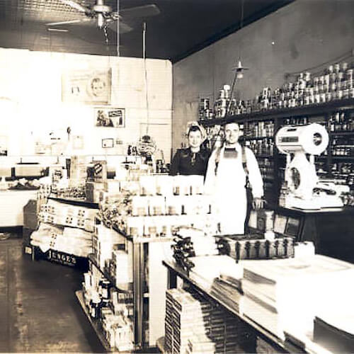
Ossana Grocery
Arma Water and Light
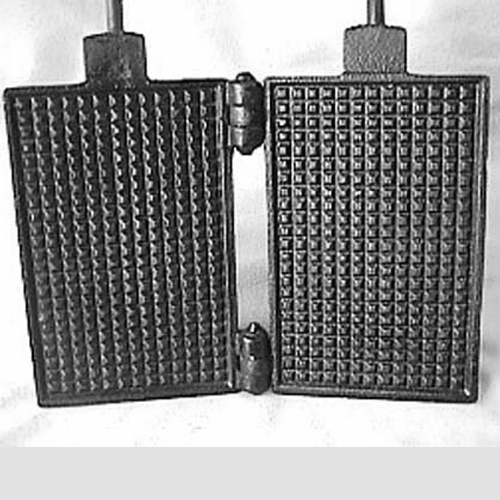
Belgi Manufacturing
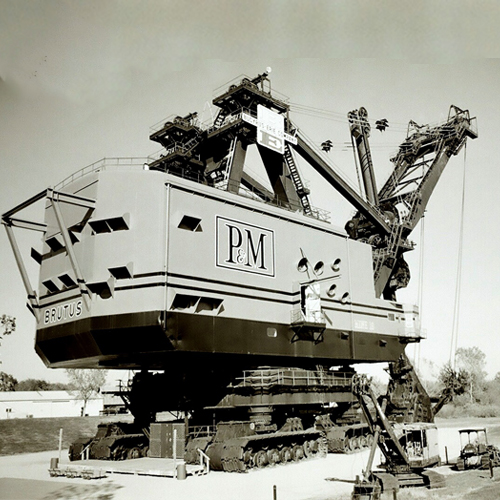
Big Brutus
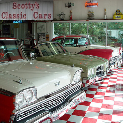
Scotty's Classic Car Museum
Chicken Annie's Original
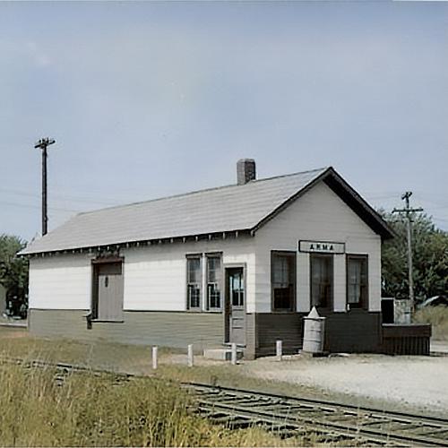
Missouri Pacific Railroad
Chicken Mary's
Arma Record Newspaper
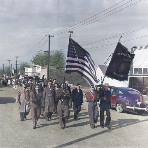
VJ Homecoming
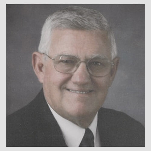
John Levra - Football Player & Coach
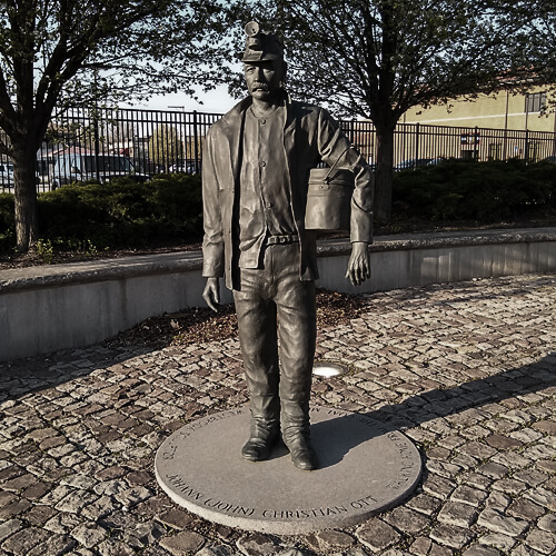
Miners Memorial Park
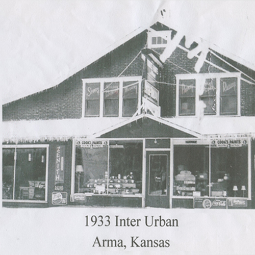
Inter Urban Lumber Company
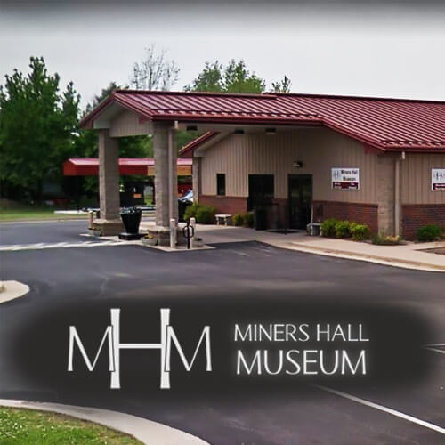
Miners Hall Museum
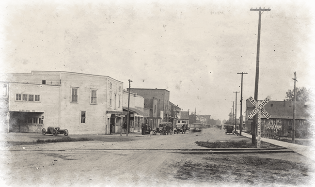
Franklin-Arma Sidewalk
Email: arma2marylou@gmail.com